
Loading...
Searching...
No Matches
map_projection.h File Reference
Convert between WGS-84 coordinates and one local UTM grid. More...
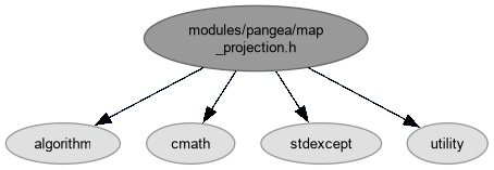
#include <algorithm>#include <cmath>#include <stdexcept>#include <utility>
Include dependency graph for map_projection.h:
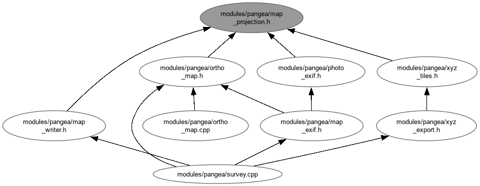
This graph shows which files directly or indirectly include this file:
Go to the source code of this file.
Data Structures | |
| struct | pangea_survey::MapTile |
| Centre and pixel geometry for a projected image tile. More... | |
| class | pangea_survey::MapProjection |
| Forward and inverse WGS-84 Transverse Mercator conversion for one UTM zone. More... | |
Namespaces | |
| namespace | pangea_survey |
Detailed Description
Convert between WGS-84 coordinates and one local UTM grid.
Map pixels are laid out in metres in a single zone so resampling and world-file spacing stay linear across a small survey. Inputs outside the supported UTM latitude, hemisphere, or zone span are rejected rather than silently producing a plausible-looking but invalid grid.
Definition in file map_projection.h.